top of page

Aerial Artistry, Mapping, & Photography
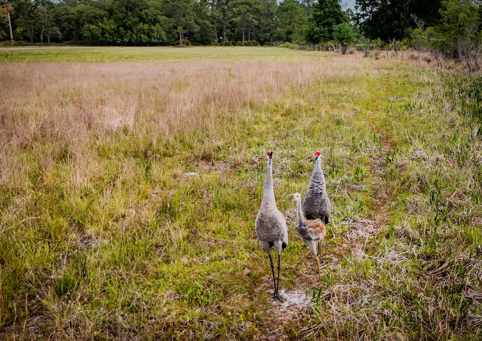
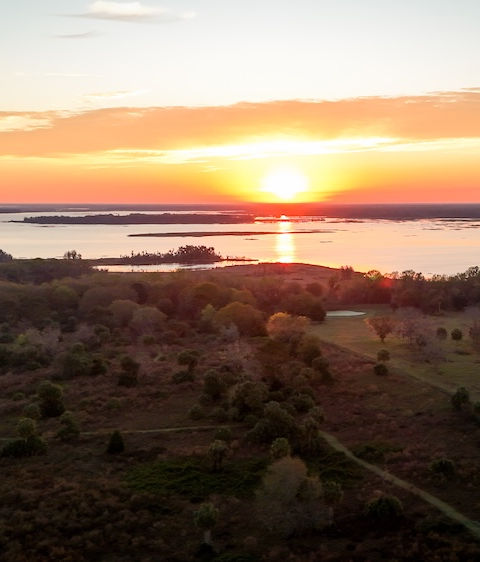
The Art of Naomi Shanti masterfully combines aerial drone work, photography, and the creation of custom maps specifically tailored for conservation projects. Their storytelling maps are expertly crafted using ARCGIS Pro, merging cutting-edge technology with an artistic vision to present distinctive visual narratives that engage and inspire action.

bottom of page


